
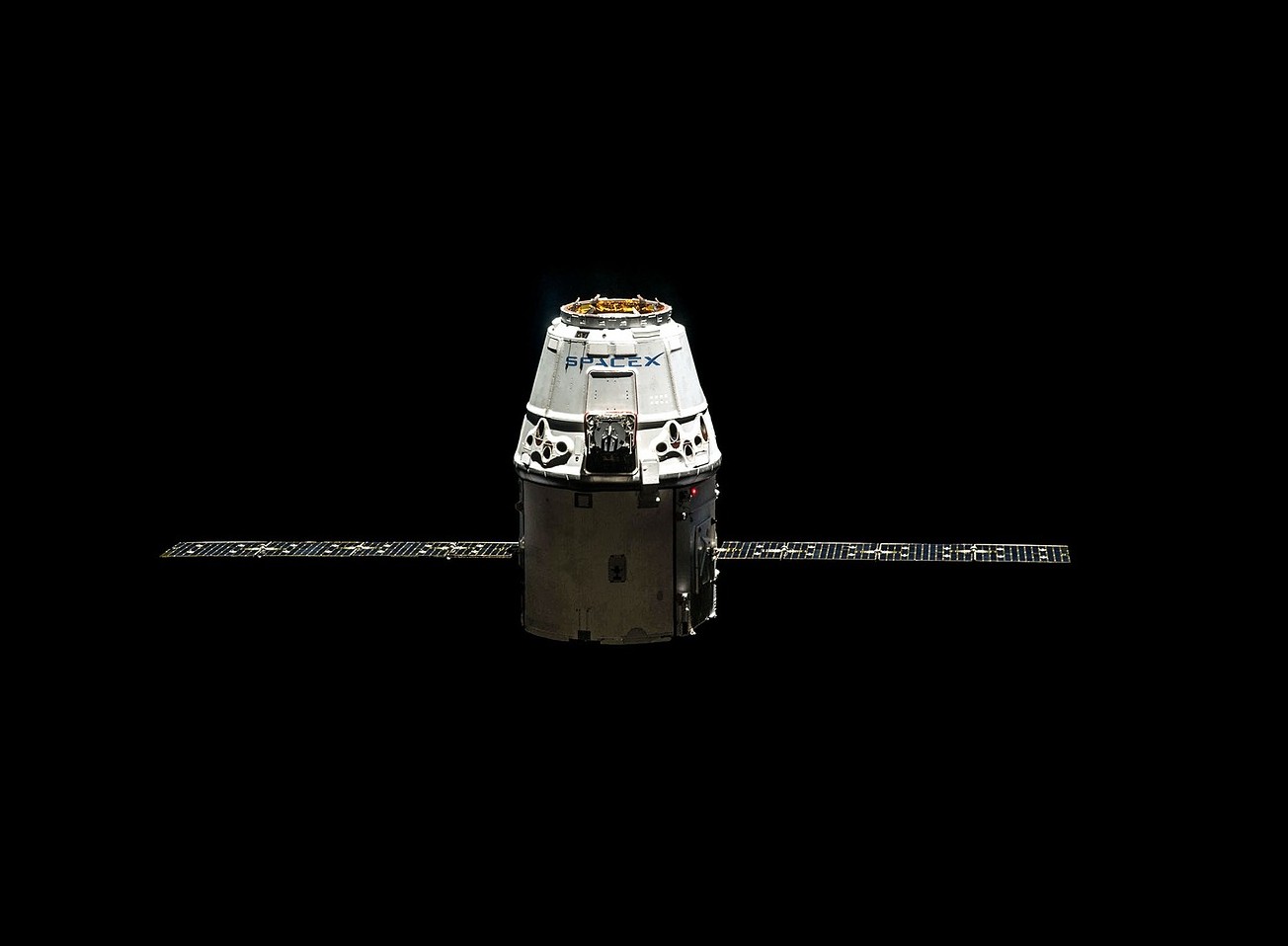
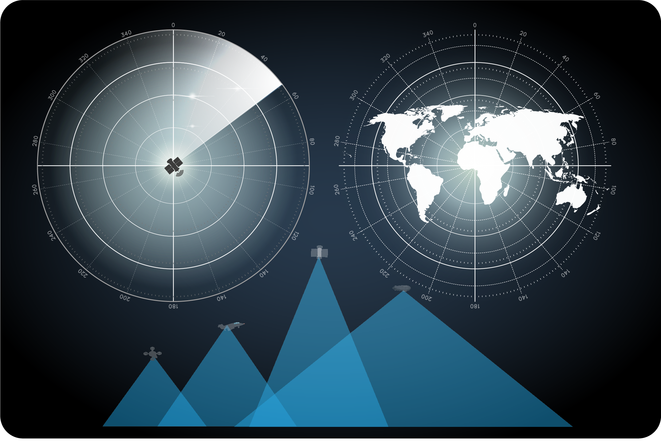
Geospatial intelligence allows us to correlate information, in space and time, in order to deepen our understanding of a phenomenon, a territory and its issues. It thus encompasses the intersection of geospatial data with social, political, environmental and many other factors.
The exploitation of this ever-increasing amount of geospatial information represents a major challenge in decision making.
The GEOINT solution that we propose has the following objectives :
AHS GEOINT "creating coherence out of chaos". Chaos in the form of piles of unstructured data that must be analyzed to obtain useful information. Two types of intelligence emerge from this chaos: the complicated (which is predictable) and the complex (which is not), where the result of a small event can generate many unpredictable variables.
The exploitation of this ever-increasing amount of geospatial information represents a major challenge in decision making.
The GEOINT solution that we propose has the following objectives :
Objectives
- Strategic and geostrategic watch
- Economic intelligence
- Monitoring and evolution of activities and infrastructures
- Detection of changes
- Assessment of damage/loss
- Direct support to operations (civil, security, military)
- Situation analysis to facilitate decision making
- Monitoring and understanding a situation
AHS GEOINT "creating coherence out of chaos". Chaos in the form of piles of unstructured data that must be analyzed to obtain useful information. Two types of intelligence emerge from this chaos: the complicated (which is predictable) and the complex (which is not), where the result of a small event can generate many unpredictable variables.
Geospatial analysis
- Decision support products
- Vulnerability Surveys
- Feasibility studies
- Risk assessment
- 2D, 3D, 4D spatial analysis
- Damage assessment
- Operations support
- Dynamic and interactive maps
- Geospatial products on demand (digital and web)
Image analysis
- Security audit
- Strategic intelligence
- Subsidence Study
- Study of site, itinerary
- Activity report
- Change detection
- Damage assessment
- Operations support
- Specific products on request