
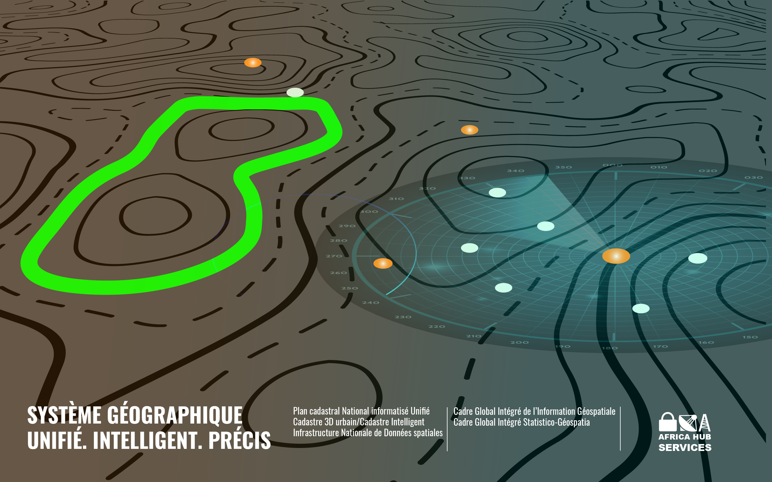
GIS technology is rapidly moving from its historical niche use within defense to a critical defense-wide infrastructure. The assessment is based on the fact that defense operations of all kinds depend on a good understanding of terrain or geography. This involves more than an understanding of location - geography is a science that creates a framework for understanding the relationships between all entities in an area of interest. This, in turn, supports the development of spatial knowledge from the data stream.
Defense-wide space infrastructure breaks down the silos that divided systems in the past to provide a common framework for processing space-based information across all defense systems. This is important because the government avoids having to pay multiple times to develop the same basic functions for each system. It also ensures that the defense user receives the latest functionality from the commercial off-the-shelf software community where computing innovation occurs. The creation of a spatial infrastructure also leads to the sharing of data and applications throughout the networked environment.
GIS is now widely used in the combat, business, and strategic intelligence domains. It is important to understand that the e-GIS platform ensures that each domain is served from a common, open, interoperable technology platform. This common infrastructure is critical in today's security climate where warfare, national security, and force protection must seamlessly intertwine.
e-GIS by AHS
- Command and control
- Defense Mapping Organization
- Basic operations and facilities management
- Force protection and security
- Environmental safety and resource management
- Health and hygiene
- Intelligence, surveillance and reconnaissance systems
- Logistics
- Military engineering
- Mine clearance and mapping
- Mission planning
- Peacekeeping operations
- Modeling, simulation and training
- Field analysis
- Visualization