
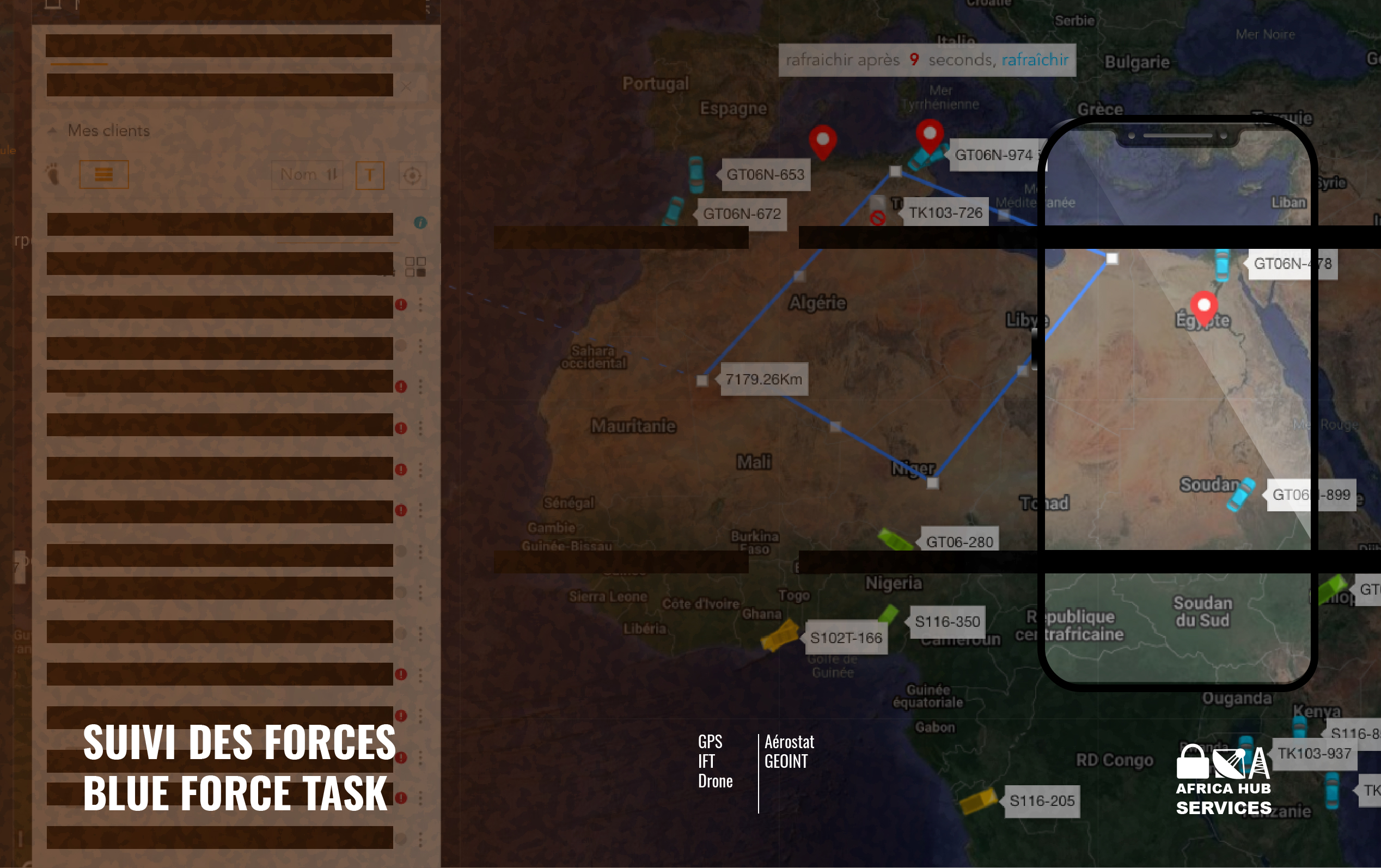
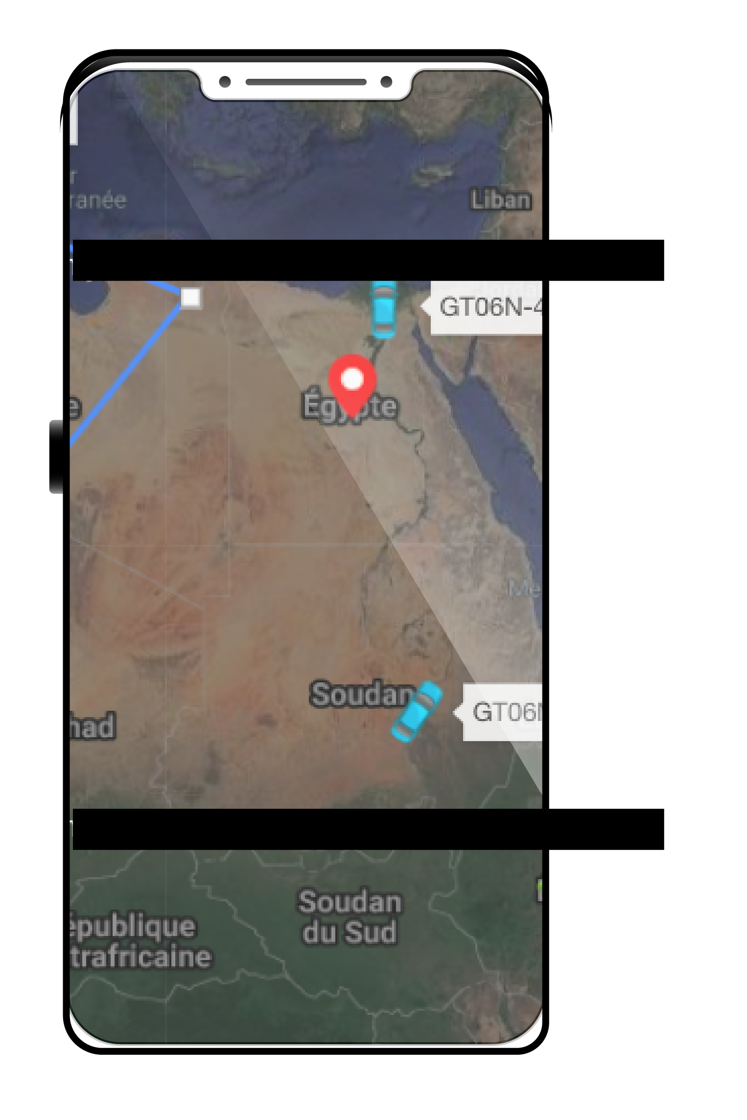
Blue Force Tracking (BFT) is a U.S. military term for a GPS system that provides commanders and military forces with location information about friendly military forces (and despite its name, also about hostile military forces). In military symbology, the color blue is generally used to designate friendly forces, while red is used for enemies and green or yellow for neutral forces.
The system displays the location of the host vehicle on the map, as well as the locations of other platforms (friendly in blue and enemy in red) in their respective locations. The BFT system can also be used to send and receive text and visual messages, and has a mechanism for reporting the locations of enemy forces and other battlefield conditions (e.g., minefield locations, battlefield obstacles, damaged bridges, etc.).
The components of a BFT solution
A BFT system consists of a tablet, laptop, or any smart mobile device used to display location information; a satellite terminal and satellite antenna, used to transmit location and other operational data; a global positioning system receiver (to determine its own position); command and control software (to send and receive commands and many other operational support functions); and mapping software, usually in the form of GIS, which plots the BFT device on a map.
The BFT solution allows a user to:
- Provide a common operating picture (COP)
- Show Blue-Force units on a map
- Generate statistical reports: speed, uptime,...
- Process data from vehicle sensors
- Transmit / receive messages